|
Jim wearing a Balti hat, 1978.
Photo: Dianne Roberts collection (used
with permission from the photographer) |
On November 21, 2015 Jim Whittaker spoke at The Summit during the 3rd annual Portland Alpine Fest. Several weeks prior, Joe Fox had the opportunity to interview Jim and learn more about his incredible life.
I was hoping you could talk a little bit about where your passion for the mountains and adventure came from originally when you were younger?
I tell a story about my brother and I. We were identical twins, ten minutes apart, very competitive. We’d be wrestling in the house, when we were just young, playing, and scuffling. And our mother would say just go outside and play and we would go outside. And when you’re outside you’re in the trees, and clouds, and sky, and if there’s a beach nearby, you walk to the beach. So, my introduction to the world of nature was outside in vacant lots in Seattle where I grew up. There were beaches we could walk to. We’re lucky here in the Northwest that nature is pretty close, and that’s how I was first introduced to it.
My first climbing was on smaller peaks, very close to Seattle that you could just hike up. I was in the Boy Scouts, and I began to do a little bit more technical stuff then I had a chance to join the Seattle Mountaineers as a junior which had really good people, who knew how to climb. They were my mentors. Then we did Olympus, we did Glacier Peak, and then we began to do all the other major peaks. I was lucky to be guiding on Mt. Rainier, climbs up to the summit, through college, so that was my best climbing experience, where I really learned a lot about mountaineering.
You were only 24 years old when Edmund Hillary and Tensing Norgay made the first ascent of Everest. A decade later you became the first American to do it and it gives you a perspective on the world of alpine climbing that’s far removed from what most of us today grew up understanding about mountaineering. What is it about mountaineering that makes it a competitive pursuit, in your view?
 |
Jim Whittaker on the summit of Mt. Everest.
Photo: Whittaker family collection.
Used with permission. |
I go back to my friend James Ramsey Ullman who wrote a book Americans on Everest, and he came up with a pretty good analysis of all of that. He said that, “Challenge is the core and mainspring of all human activity. If there’s an ocean, we cross it. If there’s a record, we break it. If there’s a wrong, we right it. If there’s a disease, we cure it. And, finally, if there’s a mountain, we climb it.” It’s sort of the nature of man to meet those challenges. I see that as both good and bad. My own love of the mountains and the natural world is the reason why I climbed. It wasn’t to break any records, or anything, it was merely to be in nature. And nature is a wonderful teacher, a place where you can test yourself against many things. It’s a magical planet, we’re lucky to be on it and people like to break records, and that’s ok, but you don’t want that to take away from the beauty of the planet and the magical place that it is.
That resonates with me quite a bit. I think that’s the way I feel about it too. So then what did motivate you to climb Everest in those early days?
Well, we were over on the mountain and we had been invited to go over and climb it and I was a climber and I had guided on Rainier, so I knew quite a bit about it. I felt the need, because we were halfway around the world, to climb it, because we were there, and because IT was there. Then Jake, a member of our team, was killed in the ice fall. That made it even more of something that we should accomplish because, at that point, it would have been such a waste to have lost Jake and not have achieved our goal. I felt, was pretty important to reach the summit. At the same time, I’ve been turned back on a lot of other mountains and wisely so, because to reach the summit is optional, to get down is mandatory.
 |
Climbers descend from the 1975 Camp I with a sled full of
oxygen cylinders to be cached for a later expedition.
Photo: Dianne Roberts collection (used
with permission from the photographer) |
You go up there to climb and to see what you can do, and you test yourself in that manner, but it’s all about rational testing. I used to speed climb up Rainier to see if my party would be the first to get up, and do stuff like that. It’s just human nature to do something the best you can. And to be as good at it as you can.
As you know, the Mazamas have a long history of leading climbs and expeditions.Our members take this role of leadership seriously and there is a great depth of experience and specialized training that leaders are required to have. I know you’ve spent a lifetime being a climb leader, essentially. What have you taken away from such a broad depth of experience as a leader? What advice can you offer to our younger members who are just starting to lead climbs?
I remember leading 80 to 90 climbers up Mt. Baker a couple of times. That was when we didn’t limit the number of climbers that went up. There would be a huge chain of people that would head up Mt. Baker, and then we began to limit the number of people on Rainier.
When you lead you need to, of course, know the mountain, know the route, know yourself, but the thing that I felt was important is you need to know the client, you need to know the people that you’re leading. And so we’d take people up that had never climbed before. Climbing Rainier, as you know, you go to Camp Muir and it’s just a walk to that point and it gives you a chance to measure the people that you’re with. Their stamina and what kind of shape they’re in. But it also gives you a chance to understand their mentality and why they’re climbing. And that was the good part of leading—you learn a lot about the people.
 |
|
Jim teaching “John John” the snowplow, in front of the
Roundhouse at Sun Valley; (L to R) Jim with Jacqueline,
Caroline and John Kennedy, Jr., about 1966.
Photo: Whittaker family collection/Look Magazine.
|
Then as I guided, I realized that you had better know a lot about these people because the people you’re climbing with can kill you. You are roped up to people who have never climbed before, if you’re guiding. It’s important that they know you’ve got to have good communication, that they do what you say, that you’re prepared for a backup in case something goes wrong and. When you’re leading, one of the most important things is to listen to your clients or your partners, whoever it may be, and to try and figure out if they’re on the same agenda as you are.
Leading climbs is difficult. Leading expeditions is very difficult because people have their own ideas. It’s hard to hold everybody together when things are going to hell and it looks like you’re not going to get the mountain and other people want the chance to try. It’s a very complicated issue.
On superstitions in climbing…
You do get superstitious, there is no question about it. If something works you’ll take it with you the next time. I’ve taken the same poetry book up on Everest and K2.
You say you’ve taken the same poetry book up there? What book is that?
Oh it’s just a book by Robert W. Service, The Spell of the Yukon.
A lot of the time you are trapped and up in the tent in a storm and you want to read stuff. If you’ve read a book a few times you’ve sort of gotten the message, but if there is a whole book of poems you can begin to memorize the poems, and so that’s kind of fun. You can spend time memorizing poems and doing stuff like that, so I found poetry to be an interesting read. You know you get trapped for five days in a storm up on a mountain and you’ll end up reading the labels on your coat and the food labels on the packages. You’re desperate to read something.
On the magic of the mountains…
When you come off the mountain after a climb you’ve learned so much, not just about yourself, but about the natural world. But also, if you live long enough then you can reflect on some of the magic that’s out there and you can begin to think that every day is a gift. I’ve lived long enough to believe that every day is a gift and still an adventure … life is a mystery. There’s a lot we don’t know and it’s fun to explore and find out as much as we can.
You’ve become something of a legend in the world of American mountaineering yourself, Jim. I’m sure you’ve given numerous talks and presentations. Do you set goals for yourself in these talks? Is there something you want to impress upon the folks who are going to be there to hear you speak this month at The Summit during the Portland Alpine Fest?
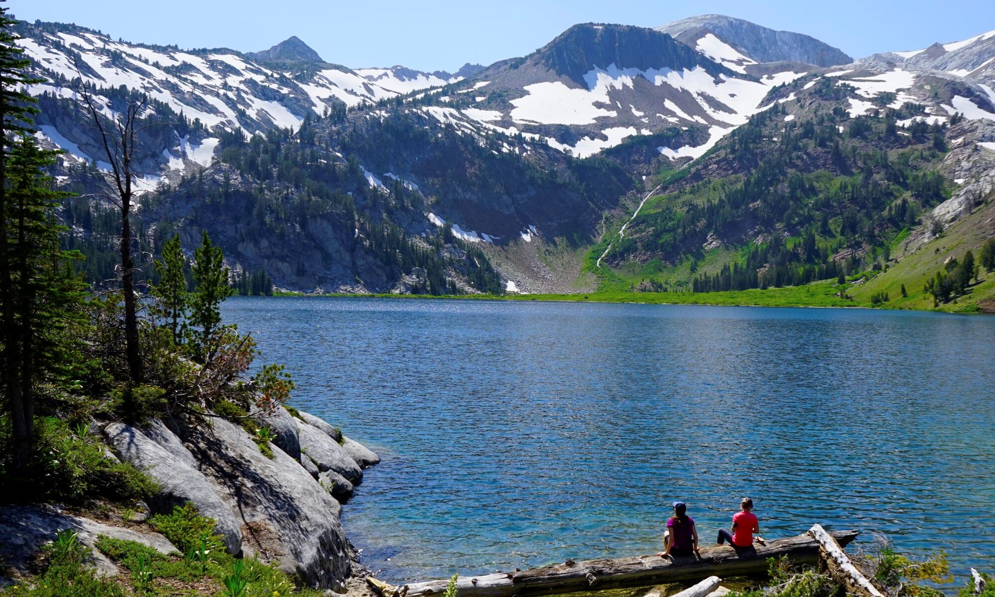
What I hope to impress is that there should be an effort to get people outside, to get them out into nature. If we can get them into nature and they learn about it then they’ll love it. If they love it then they’ll take care of it, and if they take care of it they’ll pass it on to their children. So, that’s my goal now when I talk to most people, is to emphasize how lucky we are to know nature and how we should make it a point that there is no child left inside. We gotta get them out and then maybe we can save the planet. Then maybe we can recognize that there is global warming. We can recognize that we do need clean air and we do have a right to clean water and so forth.
We’ve learned slowly about the environment. When we first started to climb there was wasn’t hardly anyone out there climbing. You began to get up on top of the peaks and you’d have your lunch sack and your orange peels and your can of juice, then you lift up a rock to hide this stuff under. Then, you find out that the next time you were up there, you lift up a rock and hell there is already so much garbage under it that you can hardly hide your stuff under it. Then, that’s when at REI we started to do these different programs. In 1955, we said, “hey if you pack it in, you gotta pack it out.” And so we began to do different things like that. But, we were dumb to start with. I can remember throwing juice cans off the cliff to hear the noise as it went down. And we used to cut switchbacks and then the switchbacks would erode and ruin the trail and so then we learned not to cut switchbacks. Then we began doing clean ups. We used to float tin cans out and sink them in this clear alpine lake and I took a Governor from the State of Washington out to clean up one of those lakes back in the early 60’s. It’s an educational process and we’re smarter than we were a hundred years ago and I think the newer generation is smarter than we were. There are still things that we can do to continue to make life pleasant for our children and their children.